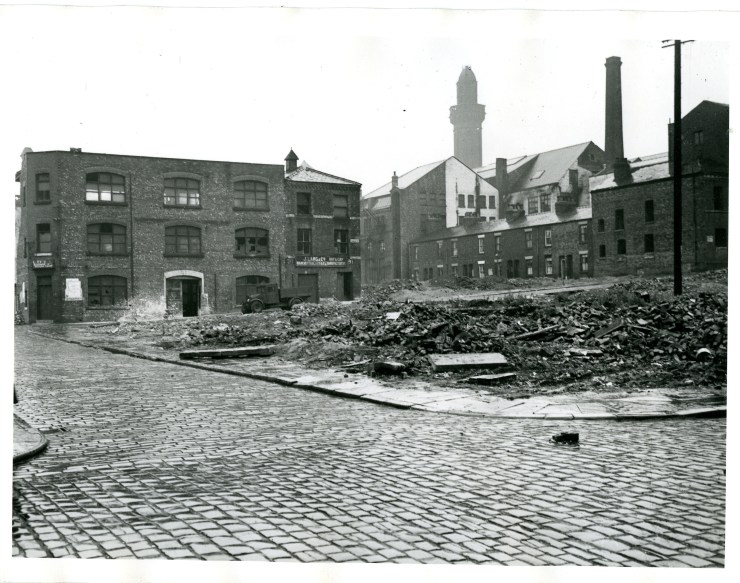
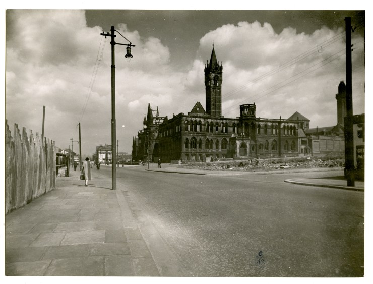
War damage
The R. S. Bamber collection, held by the Institution of Civil Engineers, includes many photographs of Manchester from the County Surveyor’s department including these images showing the devastation of war damage.


Many cities took the opportunity to look at ways of improving their layout and roads.
These plans for the City of Manchester show areas of war damage and proposed roads, buildings and green spaces.
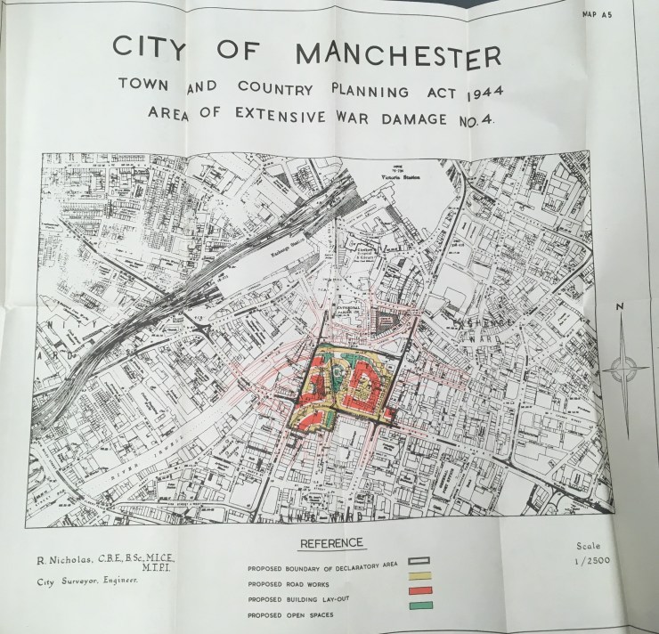
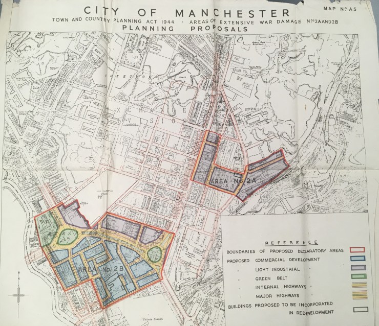
[ICE Archive ICE 1342/15]
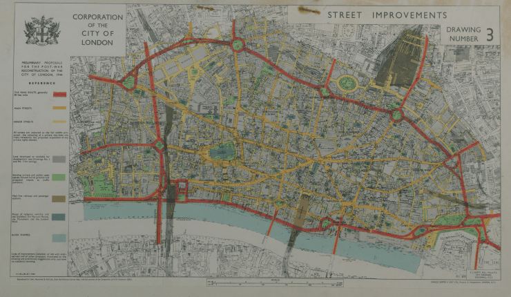
The Corporation of London planned a ring route, to be 80ft wide, as shown in red on this map. The idea of ringways had first been proposed before the war.
An alternative plan included an embankment and lagoon dock between Cannon Street and St Paul’s.
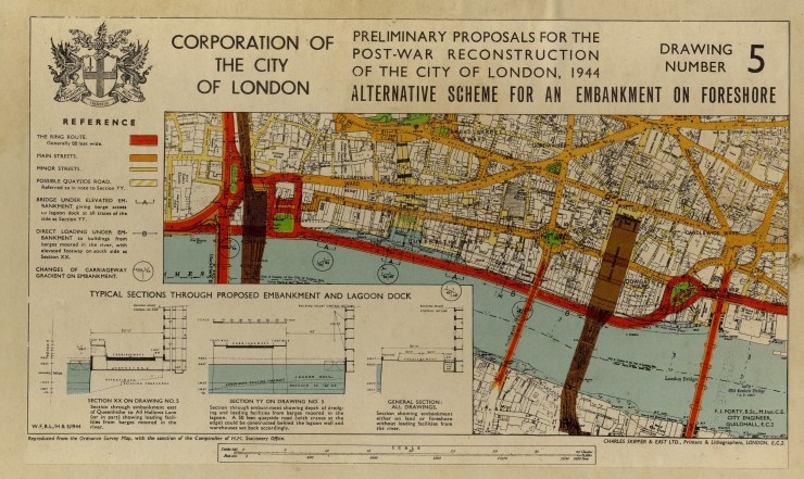
The plans would have involved significant costly construction works and displaced many families and were not intended to be carried out immediately, but rather gradually over the next 20 years. Very little of the plan was actually carried out due to cost and existing roads were improved instead.
Images from the ICE Archive.